A remarkable discovery of undisturbed archaeological material from the Temple Mount and dating to the Old Testament period was announced yesterday by the Israel Antiquities Authority.  This is remarkable for a few reasons:

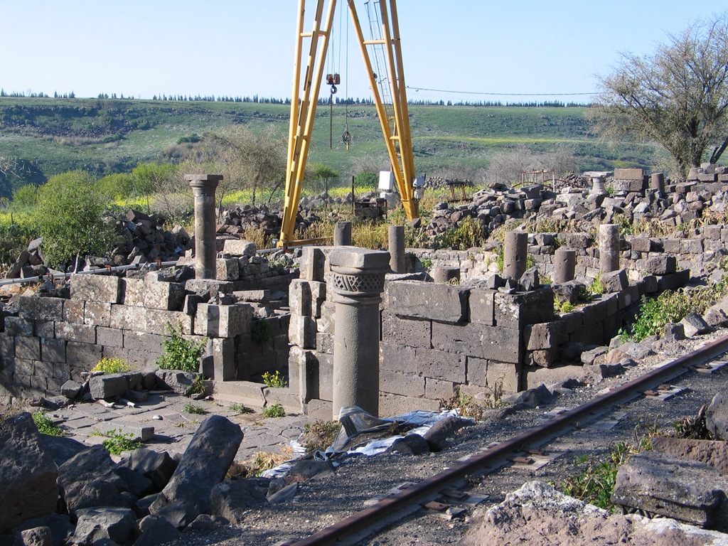
By all appearances, there was little apparent archaeological supervision of the Muslim digging of a trench on the Temple Mount last month.  That’s why lots of people were screaming.  It’s not that digging itself is bad, but digging without proper archaeological procedure is simply destruction.

Undisturbed layers from the First Temple period (1000-586 B.C.) are not often found anywhere in Jerusalem.  This is because of later building activities and because of current inhabitation of the city.

No undisturbed layers from any period have been excavated on the Temple Mount, ever.  This is owing to Muslim control of the site and their prohibitions against archaeological excavation.  This dates back to the earliest “archaeologists” in Jerusalem, including Charles Warren in the 1860s.

It has been expected that the construction of the present Temple Mount by King Herod in the 1st
century B.C. was so extensive and destructive that little would remain (in stratified contexts) from the previous eras.  The present discovery does not seem to constitute significant material in and of itself, but it certainly gives hope that more could be recovered should excavations be permitted.  Similar discoveries from this time period have been made by Gabriel Barkay in his Temple Mount Sifting Project, but they were not from a stratified context as this was.

Enough of the significance of the discovery, here are some details:


Items discovered: ceramic table wares, animal bones, olive pits, bowls, juglet base, storage jar rim. 


Date of items: 8th-6th century (roughly the times of Hezekiah to Josiah)


Location of discovery: southeastern corner of raised platform on Temple Mount


Archaeologist in charge: Yuval Baruch, Jerusalem District Archaeologist


Consulting archaeologists: Sy Gitin, Director of the W. F. Albright Institute of Archaeological
Research in Jerusalem, Israel Finkelstein of Tel Aviv University and Ronny Reich of Haifa University


The key statement making this an important discovery: “The layer is a closed, sealed archaeological layer that has been undisturbed since the 8th century B.C.”, Jon Seligman, Jerusalem regional archaeologist.


The skeptic: Eilat Mazar, “I think it is a smoke screen for the ruining of antiquities.”


The future: examination of the discoveries in a future seminar to be organized by the Israel Antiquities Authority


More information: Israel Ministry of Foreign Affairs (with photos), Israel National News (with wrong dates), Haaretz, Jerusalem Post, Maariv (more detailed article in Hebrew)

Share:

Scientists have just released a report on a massive earthquake in 749 A.D. in Israel.  The Jerusalem Post article is misleading in suggesting that they just now learned about this particular earthquake, as any visitor to Beth Shean will attest when viewing the fallen columns.  But some more information has been learned based on excavations at Umm el-Kanater in the Golan Heights.

The discovery by Tel Aviv University scientists that a major earthquake (over 7 on the Richter scale) took place on the Golan Heights in the year 749 CE – and none of similar magnitude in some 975 years – means the area is long overdue for another one. So say the TAU geologists and archeologists who published their findings in Seismology Research Letters released to the press on Sunday.
The archeological signs of the earthquake were found at Umm el-Kanater (“Mother of the Arches”), a five- or 10-minute drive from Katzrin and near Moshav Natur east of the Kinneret. The damage consisted of a broken pool of water whose two parts were moved a meter from one another. The pools had been used to collect water for a nearby village inhabited from the Byzantine Period until the middle of the eighth century. The dig site has been open to the public for more than three years.
The village suffered destruction, including damage to an elaborately built synagogue that collapsed and whose stones were fortunately not stolen, unlike those of many other archeological sites on the Golan.

You can read the rest at the Jerusalem Post.

The reference to 975 years is enigmatic.  It probably is a reference to an earthquake in 1724 A.D., but why that means Israel is due for another one at this time is not clear.

Umm Kanatir, db031007598
Umm el-KanatirPhoto courtesy of David Bivin (March 2007)
Share:

A Dutch researcher believes that she can connect a seal discovered long ago with the famous wife of King Ahab.  From Haaretz:

For some 40 years, one of the flashiest opal signets on display at the Israel Museum had remained without accurate historical context. Two weeks ago, Dutch researcher Marjo Korpel identified article IDAM 65-321 as the official seal of Queen Jezebel, one of the bible’s most powerful and reviled women.
Israeli archaeologists had suspected Jezebel was the owner ever since the seal was first documented in 1964. “Did it belong to Ahab’s Phoenician wife?” wrote the late pioneering archaeologist Nahman Avigad of the seal, which he obtained through the antiquities market. “Though fit for a queen, coming from the right period and bearing a rare name documented nowhere other than in the Hebrew Bible, we can never know for sure.”
Avigad’s cautious approach stemmed from the fact that the seal did not come from an officially-approved excavation. It was thought to come from Samaria in the ninth century B.C.E., but there was no way of knowing for certain where it had been found. And that has been the scientific hurdle that Korpel – a theologian and Ugaritologist from Utrecht University and a Protestant minister – set out to conquer.
In her paper, scheduled to appear in the highly-respected Biblical Archaeology Review, Korpel lists observations pertaining to the seal’s symbolism, unusual size, shape and time period. By way of elimination, she shows Jezebel as the only plausible owner. She also explains how two missing letters from the seal point to the Phoenician shrew….
But speaking as a private person, I am in my mind 99 percent sure that it belonged to Jezebel,” she says after some coaxing.
However, Korpel is not an archaeologist, and her research of archaeological findings is essentially textual. “I have thought about this. But many research fields see important discoveries by researchers from related fields,” she says. “I admit my solution for the seal of Jezebel is quite simple. But then, so was the invention of the paper clip.”

See also this update in Haaretz which explains why Jezebel is spelled incorrectly on the seal.

If you have access to older issues of Biblical Archaeology Review, you can see a photo of the seal in the March/April 1993 issue, page 28.  Or you can see it online here.

Update (10/11): This Dutch website has a photo of the seal with each letter identified.

HT: Joe Lauer

Share:

A friend sends along some interesting news articles:

Archaeologists found evidence that bas reliefs and cunieform letters were painted in the Achaemenid royal tombs at Naqsh-e Rustam in Iran. Among these is the tomb of Darius the Great.

Renovations of a mosque at Luxor revealed architectural elements of an earlier temple of Ramesses II.

The Japanese have obtained permission to renew excavations of (the Turkish part of) Karkemish (aka Carchemish). They have to clear some mine fields, and work is expected to begin in a year-and-a-half.

Share:

ABC has some photos of the quarry, or you can watch a two-minute video with relatively poor footage of the site (and two guys who can’t correctly pronounce the object of the discovery). 

BiblePlaces.com has some exclusive photos of the quarry area, with thanks to Aubrey Laughlin for sharing them with us.  Click on each photo for a higher-resolution version, which you are free to use for personal and educational purposes.

Herodian quarry, al092407516sr
General view showing how the ancients cut away the mountain
Herodian quarry from north, al092407543sr
View showing the proximity of the quarry to Ramat Shlomo
Herodian quarry, al092407541sr
Showing a cross-section of the mountain and Jerusalem in the distance
Herodian quarry, al092407527sr
Notice the trenches cut in the rock in the foreground
 Herodian quarry, al092407550sr
A view showing where quarrying activity ended.
  
Herodian quarry, al092407555sr 
You can easily see where the rocks were extracted
Herodian quarry, al092407538sr
A trench made in order to extract the stone
Next challenge: Identify the stones removed from this quarry (bonus points if you can put each one back in its original location!).
Share:

I have been asked where exactly the quarry was located.  Here are two maps from Google Earth that show the area of the quarry, about 2 miles (3 km) north of the Old City.  You can click on each for a larger view.

jerusalem_quarry
General view.  Note the highway to the east of the quarry is similar to the ancient route (known sometimes as the Central Ridge Route or the Road of the Patriarchs).
jerusalem_quarry2
Closer view, which will be helpful if you’re in the neighborhood and want to see it yourself.
Share: