There are not many computer programs that I am wildly ecstatic about, but Google Earth qualifies even if no others do. If you haven’t yet downloaded it, I recommend it.
I’ve been doing some reading recently on Pompeii. I think my fascination with the city may in part be owing to my “discovery” of the site years after I thought I had been to the most important ruins of the Middle East and Mediterranean world. When I visited, I felt that I had been cheated for years.
Why had no one sat me down and told me in a most serious tone that I must discard all other travel plans and get myself to Pompeii? Apparently I do not have friends who love me enough.
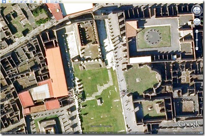
Sadly I learned very little from my delay in visiting Pompeii in Real Life, for I have done no better in visiting Pompeii in Google Earth. I had no idea what a treat was awaiting me. At least for those used to staring at the fuzzy, low-resolution imagery of Israel, Pompeii is a beautiful contrast. (To find Pompeii quickly, paste these coordinates in the “Fly To” box: 40.750262°14.486046°).
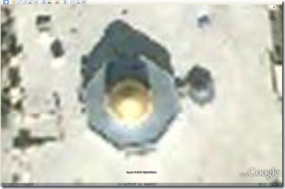
Here is a comparison, with screenshots taken in Google Earth from the same elevation above the sites.
I don’t know what it’s going to take before we see high-quality satellite imagery in the Middle East.


2 thoughts on “Jerusalem vs. Pompeii (in Google Earth)”
Maybe never. I remember reading a few years ago that Israel was worried that terrorists may be using Google Earth to target homemade missile attacks or plan in-country missions. Not an entirely unreasonable concern.
Israel may not want hi res maps that easily available.
I love you, Todd.
And I agree with Al. Freely available, high-res imagery of Israel is a bad idea, and will probably never happen. Have you noticed, though, that the Google Earth people apparently took a lot of time to clean up the colors in their Israel/Jordan/Egypt region. It now looks really nice – like one seamless photo. Compare southern Egypt. Yuck.