fbpx
(Post by A.D. Riddle)

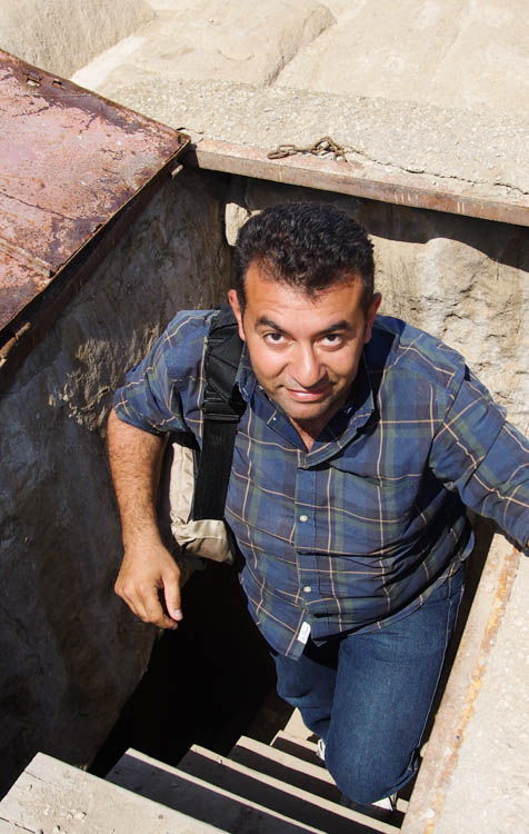
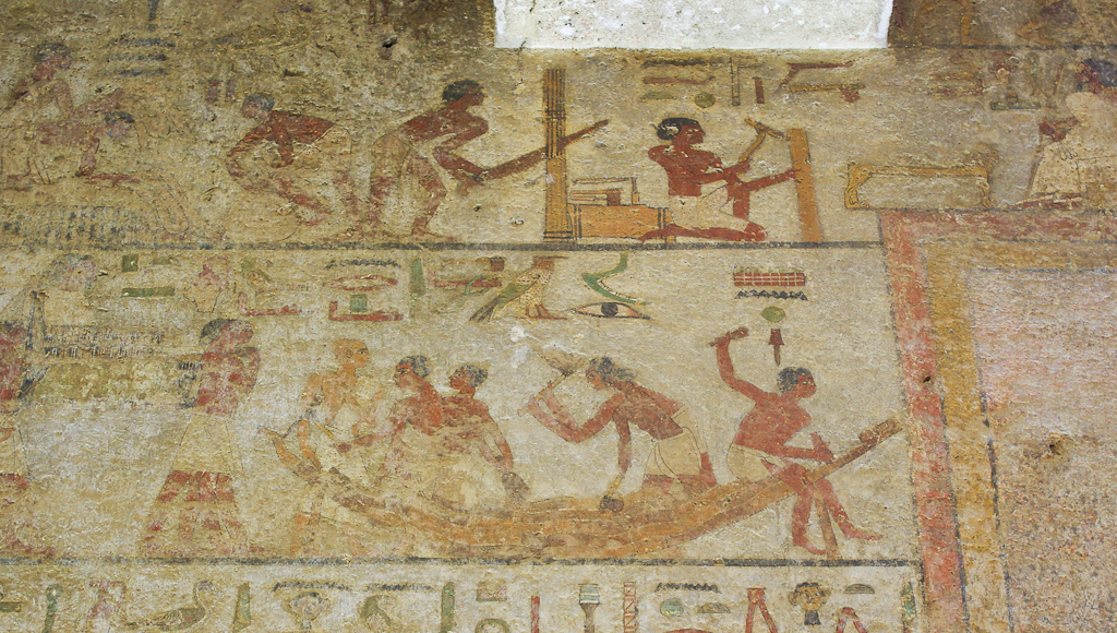
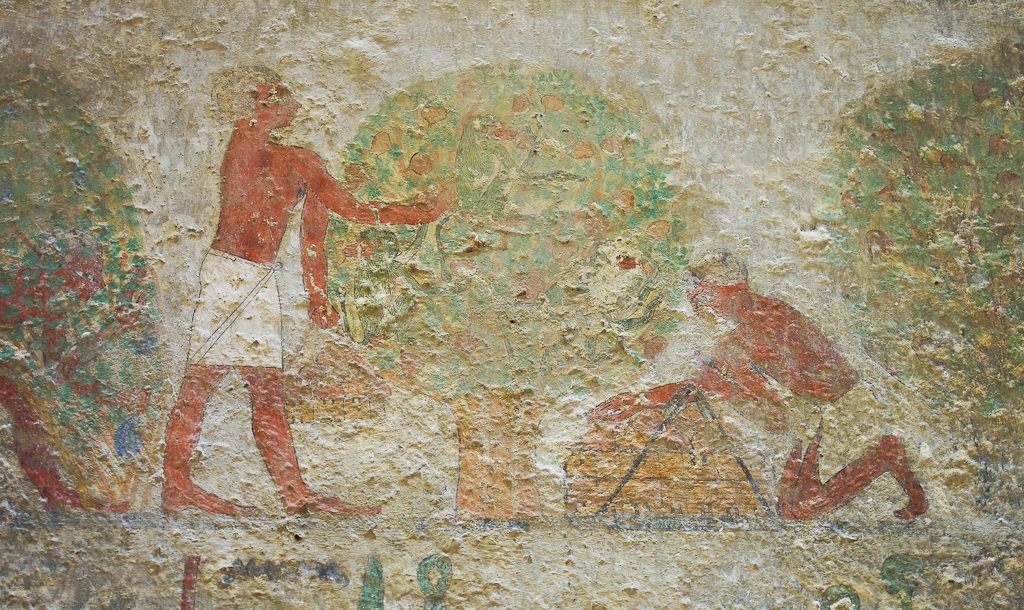
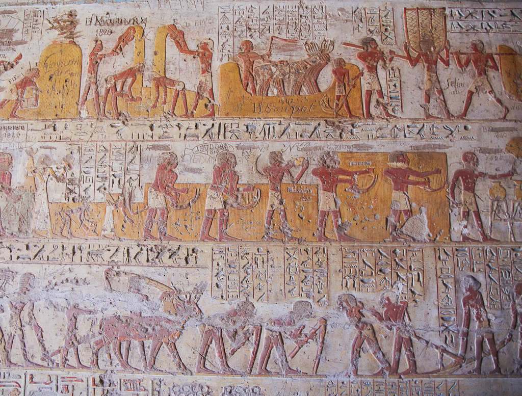
As mentioned before, I took my first trip to Egypt this year. The main part of the trip was led by James Hoffmeier (Trinity International University) and was organized by Shepherd Travel. For those interested in traveling to Egypt, I am happy to recommend Shepherd Travel, and in particular, our guide Maged. At the end of the Hoffmeier trip, a friend and I remained a few extra days to visit additional sites. Maged was an enormous help during our extended time.

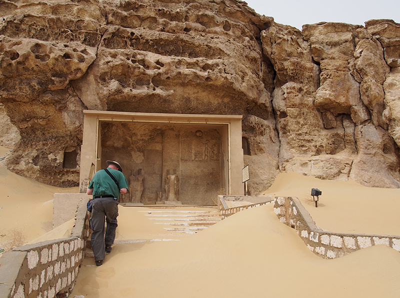
Egypt possesses many amazing places and artifacts to see, but travel in Egypt can present a few challenges. If we had not had Maged as our guide, it would have been extremely difficult (maybe impossible) to visit and photograph all the sites that we did.

Our Egyptian guide Maged

Here are four ways having a good guide helped us:

Negotiation. First, everything in Egypt must be negotiated—from transportation, to prices and tips, to permission to enter some of the sites and permission to photograph. All of this takes time and knowledge of how things work (the ability to speak Arabic is also huge advantage). There were a few sites that were “closed” or where photography was forbidden, but Maged was able to negotiate our way into nearly every one of them. In addition, if we had been by ourselves, we surely would have paid more and tipped more (or less) than we needed to, because we are not familiar with the customs. Maged made sure we avoided these situations. (In Egypt, everything you can imagine requires a tip, and you have to be willing to give each transaction plenty of time to “transpire.” If you are in a hurry, you will probably miss out.)

Transportation. Second, we had to rely on local transportation. In other Middle East countries I have visited, it is not difficult to rent a car and do all of my own navigating, but I would not recommend this in Egypt. Instead, we utilized local drivers, trains, and subways for transportation. Some of this we could have figured out on our own, but it would have taken us twice as long and in some cases we probably would have paid (much) more than we should have. Maged arranged all our transportation needs to maximize our schedule and negotiated fair prices. In places where Maged was not with us, he made sure we had a driver, that the driver knew where we wanted to go, and that we knew how much we needed to pay and tip.

Security. Third, Egypt is very protective of tourists, excessively even at times. During the Hoffmeier trip, we noted at one site that the number of police and guards exceeded the 40-something members of our tour group. Travel to some sites and use of the desert highway require police escort, and it was helpful to have Maged explain our intentions to authorities, to procure their assistance when needed, and to keep us informed of everything that was going on. Maged also knew which sites are located in military zones and therefore off-limits, thus saving me wasted time and effort trying in vain to reach them. Finally, Maged could verify whether it was safe for us to travel to some of the out-of-the-way sites.

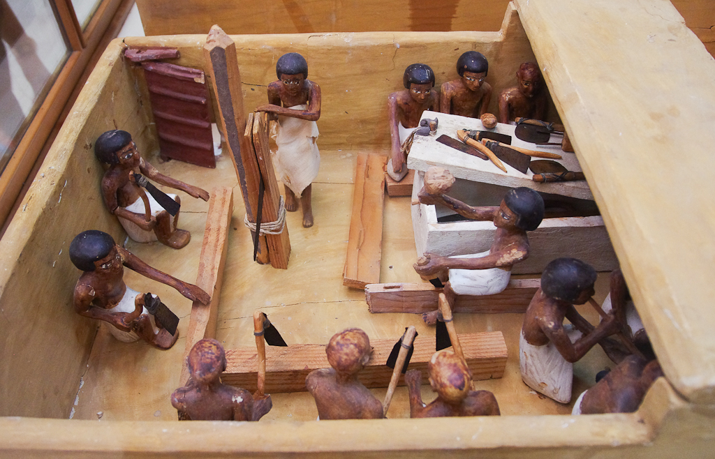
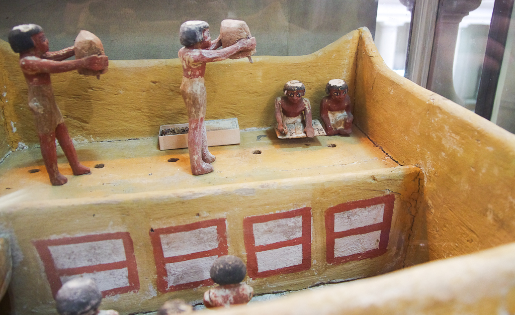
Expertise. Fourth, Maged studied Egyptian archaeology and ancient Egyptian language in university. He showed us his comprehensive exams in Egyptian hieroglyphs, hieratic and Coptic, and they looked quite impressive. He has participated in excavations and was familiar with all of the sites on my itinerary—even the ones that I thought were ultra-obscure. In addition, Maged is quite knowledgable about the history, sites, doctrines, and traditions of the Coptic Orthodox Church. Many American Christians probably are not too familiar with traditions related to Joseph and Mary’s flight to Egypt (Matt 2), the martyrdom of Mark in Alexandria, the ostensible fulfillments of Isaiah 19, the Desert Fathers, or the differences between the Latin and Eastern Church. And not least, Maged speaks very good English.

If you are thinking of taking a trip to Egypt, I recommend Shepherd Travel and ask for Maged to be your guide. You can find more at Shepherd Travel’s website or on Facebook.

Share:

Forty-five shipwrecks, many dating back to ancient times, have been discovered off a Greek archipelago that is one of the Mediterranean’s richest underwater archaeological sites.”

A large and Roman mosaic has been discovered in Larnaca, Cyprus. A short video shows the excavation.

“A large number of expansive rock tombs which could constitute part of the world’s largest necropolis have been discovered during work carried out by the Şanlıurfa Municipality around the historic Urfa Castle in southeastern Turkey.”

“Excavation teams at an ancient site [Side] in the southern province of Antalya are struggling to find sponsors after it emerged that the site contains an ancient brothel.”

The Lion of Babylon is not faring well in part because of the visitors that keep climbing on its back.

The oldest writing found on papyrus is now on display in the Egyptian Museum in Cairo.

Scholars believe that have identified an ancient security system that protected the pharaoh’s burial chamber in one of the pyramids of Giza.

Philippi is in the latest group of sites to be named a UNESCO World Heritage site.

Some British MPs are proposing the return of the Elgin Marbles to smooth Britain’s departure from the EU.

Two Hellenistic marble sculptures from the Pergamon Museum in Berlin will remain on loan for the next two years at the New York Metropolitan Museum of Art.

The ancient Mamertine Prison in Rome will soon be open after three years for restoration and excavation.

After a $73 million renovation, Yale will soon be re-opening the Beinecke Rare Book & Manuscript Library.

“Dendrochronological and radiocarbon research by an international team led by Cornell archaeologist Sturt Manning has established an absolute timeline for the archaeological, historical and environmental record in Mesopotamia from the early second millennium B.C.”

Ben Witherington III has more than 20 posts on his recent trip to Turkey. Highlights include visits to the Miletus Museum, the Izmir Museum, and the Zeugma Museum (which has a splendid mosaic).

New book out from Eisenbrauns: “Did I Not Bring Israel Out of Egypt?” Biblical, Archaeological, and Egyptological Perspectives on the Exodus Narratives, edited by James K. Hoffmeier, Alan R. Millard, and Gary A. Rendsburg.

HT: Agade, Joseph Lauer, Ted Weis, Charles Savelle, Explorator, Daniel Wright

Share:
(Post by A.D. Riddle)


Earlier this year, I took my first trip (hopefully of many) to Egypt. Normally I am interested in Bible history and geography, though recently, my attention has been drawn to ordinary, daily-life objects and cultural behaviors. For Bible times and places, it can be a little challenging to come up with photographs that illustrate these sorts of things. But that is why I found Egypt is so amazing.

One of BiblePlaces.com‘s photographers on location in Egypt.


Egypt provides three sources for helping us visualize ancient ways of life.

1. Tomb Models.
You can probably find examples of tomb models in most museums with Egyptian collections. These are ancient models that depict people in various occupations, most of them I think dating to the Middle Kingdom. Examples include herding cattle, storing grain, baking, butchering, sailing boats.

The models were placed in the tombs of nobles and depict the kinds of industries and activities that that particular noble oversaw during his lifetime. This photograph from the Egyptian Museum in Cairo shows carpenters at work. You can see them with their various tools: mallet, adzes, chisels, saw. Some of them are working on a sarcophagus.

Here is a model granary also from the Egyptian Museum. You can see people carrying sacks of grain to a scribe who is recording the amounts. You can even see the hieratic writing on his tablet. The red and white rectangles below are chambers or bins for storing the grain. (Now re-read Genesis 41:47-49.)

2. Tomb Paintings.
In royal tombs, you can see artwork of the king or members of the royal family interacting with deities, involved in funerary rituals, dealing with their enemies, and receiving tribute. In the tombs of nobles, however, the same sources for the models above, you can find elaborate paintings or reliefs of more mundane activities like cultivating fields, hunting, fishing, helping a cow give birth, and so on.

Here is a tomb painting from Beni Hasan that shows carpenters at work on a boat. Again, you can see the tools: axes, mallets, and adzes. Above them some carpenters are building furniture. One man is using a saw and another an adze. Between them are several other woodworking tools.

This photo, also from Beni Hasan, shows two men harvesting figs from a tree. There are three monkeys in the tree—apparently also big fans of the fruit. (Need help seeing the monkeys? Click here.)

This scene from El-Kab shows the cycle of a grain harvest. In the bottom register, two plows are being pulled, one by oxen and the other by men. In between two men are tilling with hoes. Partially concealed by the oxen a man is sowing seed. In the middle register, men with sickles are reaping the grain. It must be hot work because the man in the center is stopping to drink from a jug. In the top register, they are bringing the grain in baskets to be threshed by oxen, then winnowed by hand. In the top left, a scribe is overseeing the storage of the grain (now shown).

3. The Real Thing.
And if that were not enough, in Egypt you can see the actual objects themselves, thanks to the arid climate and the fact that burials were located in the desert beyond the cultivated land. Many items which are not preserved in other countries—such as textiles, food, wood—can be found in Egypt.

In keeping with the theme of carpentry, here is a wooden mallet.

This case in the Egyptian Museum in Cairo shows many of the tools shown above: a wooden plow (with fiber ropes!), hand scoops for winnowing grain, and hoes.

I might also make mention that, although not unique to Egypt, in the rural agricultural villages and fields, you can see traditional methods of farming, herding, butchering, etc. that in many cases do not appear all that different from their ancient counterparts.

UPDATE: Follow-up post “Travel in Egypt.”

Share:

An 8-year-old boy discovered the head of an Iron Age figurine while visiting the site of Beth Shemesh.

A mosaic with an inscription from Isaiah 65 has been discovered near Adana, Turkey.

Archaeologists have found a “giant fence” at Tell ed-Daba that dates to the time of the Hyksos’ invasion.

The Algemeiner: “Hamas forces seized a chest full of Ottoman-era gold coins discovered in Gaza.”

Police arrested an antiquities dealer near Beth Shean with a collection of more than 3,000 illegally obtained coins.

Google is adding Petra to its “Street View.” The queen of Jordan contributed by writing the company’s blog post. I’m impressed.

Fadi Shawkat Haddad has released A Christian Pilgrimage Journey in Jordan. Haddad is a Christian tour guide in Jordan whom I worked with many years ago. The book covers 80 sites and costs $20 plus postage.

The Summer 2015 issue of DigSight is now available in pdf format. This issue includes a report on the season at Lachish, the Ishbaal inscription from Khirbet Qeiyafa, and upcoming events.

Charles E. Jones has expanded his bibliography of autobiographies of archaeologists and given it a new home.

A team of researchers is learning more about how vellum was produced for pocket Bibles in the medieval period.

Premier Exhibitions recently had a media preview of its King Tut exhibition. It features more than
1,000 precisely crafted replicas, arranged in the exact manner found by archaeologist Howard Carter in 1922.

Qedem Reports is now accessible online through JSTOR. In the future, all Qedem volumes will be available.

The Biblical Archaeology Society is running a Thanksgiving sale with discounts up to 85%.

The future of archaeology is non-invasive and non-destructive technologies.

This week on the Land and the Book: Bible Exploration Tech Tools with Scott Lindsey from Logos Bible Software.

Here’s more on the new papyrus of the Gospel of John.

BibleX has an interesting post on Paul and Bedbugs.

Israeli archaeologist Yoram Tsafrir died on Monday.

HT: Charles Savelle, Agade, Joseph Lauer, Pat McCarthy, Ted Weis

Share:
(Post by A.D. Riddle)


As a follow-up to Todd’s post on using GPS in Jordan, here are the steps my brother used to turn his iPhone into a navigation system. On a trip to Lebanon two years ago, we were able to use my brother’s iPhone as a GPS. His iPhone is an unlocked GSM (meaning that he could swap out SIM cards—this is important!).

1.    At the airport in Beirut, my brother purchased a SIM card and a T-Mobile 3G+ data plan in Lebanon. For our two-week trip, 2GB of data was sufficient, as long as we avoided using apps such as Google Earth which load image tiles every time you swipe or zoom. This near-constant loading of raster images really gobbles up data.

2a.    While within the city of Beirut, my brother discovered that Apple Maps worked better. (Location Services has to be enabled.) It updated our present location faster and with greater precision than other apps, which was quite important in the city so that we did not miss any turns. The street maps in Apple Maps are vector data, so they loaded quickly. The problem with Apple Maps was that road names were in Arabic, so not easy to read. But, since we knew our destination, and we could see where we were at that moment, we could figure out which roads to take.

2b.    Outside Beirut on the way to the next city, Google Maps worked better. Google Maps did not update our position as quickly, but it did show more of the smaller roads (very helpful!) and was pretty accurate. The street maps in Google Maps are also vector data, so the maps loaded quickly.

2c.    Once we were within a mile or so of whatever obscure site that we were trying to find, my brother used OpenStreetMap within the app GaiaGPS. (GaiaGPS is $20 in the App Store; it works on both iOS and Android phones.)

As Todd did, before leaving on our trip, we located all sites in Google Earth. The Google Earth kml file was converted to a gpx file using the free kml2gpx website. My brother then loaded the gpx file into GaiaGPS. As with Google Maps, OpenStreetMap also showed more of the smaller roads and showed where our Google Earth site was located in relation to our position. Because OpenStreetMap is tile-based, sometimes it took the maps a little longer to load. To get around this, we could cache our route the night before, though sometimes we did not always know exactly which roads we would be using, or we did not cache all the zoom levels that we needed. GaiaGPS was not quite as fast at updating our position as Google Maps, but my brother could force GaiaGPS to update simply by snapping a photo within GaiaGPS. (Since GaiaGPS geotags photos, taking a photo forced GaiaGPS to update our location in order to write the coordinates to the jpg image file.)

3.    We also used GaiaGPS to store waypoints. In essence, this feature kept track of the path we travelled by recording GPS coordinates every few seconds. Once we returned home, we were able to use the waypoints (a gpx file) from GaiaGPS to geotag all my photos using the free COPIKS PhotoMapper. The COPIKS app marries waypoint coordinates with a photograph based on matching timestamps. (It is important beforehand to sync up the date-time on your camera with the date-time on the iPhone.) COPIKS then writes the coordinate data to the jpg image file.

4.    As Todd did in Jordan, we found screen captures from Google Earth to be helpful on several occasions. Rather than printing them, we loaded the images onto an iPad for reference.

Share:

Earlier this year I made a seven-day trip to Jordan to take photos. For the first time in my travels in the Middle East, I used a GPS. It worked well. If you’re planning to rent a car and travel around on your own, you might consider it as an option. Here is what I did.

1. I bought a GPS. The one I purchased was not the cheapest, but I was very happy with it.

2. I bought a map set for Jordan (for Garmin). This set actually includes all of the Middle East except Israel. If you need Israel, there’s one here. (Beware the very cheap ones; they are illegal copies.)

3. The most important part of the process is to identify the sites you plan to visit ahead of time. This is particularly important if you are planning to see lots of random tells that aren’t on the maps and that the locals may not be able to help you with.

3a. First, locate the sites of interest on Google Earth. This can be challenging, depending upon how obscure your sites are. If you have a reference source with coordinates, see A.D.’s post on how to convert them to GE points. You may find the Site Index for the Pictorial Library of Bible Lands helpful for its list of coordinates as well. If you are looking for a GE file (kml) of lots of biblical sites in Israel and/or Jordan, search on the web (though reliability varies).

3b. Then, export your chosen sites to a kml file (simple instructions here). Convert that to a format your GPS can read. You can do this at kml2gpx.com or similar sites. Then copy the converted file to your GPS (video instructions here).

That’s it. I would recommend you bring a map or two, just in case your GPS fails on the trip. (I packed my GPS in my carry-on luggage so it wouldn’t be “borrowed” by luggage handlers.) You might even consider bringing a backup GPS if funds allow. (And part of that question is also, how much would it be worth to you in the middle of your trip if your other failed?)

One other step I took, not knowing how the GPS would work, was to use the (now free) Google Earth Pro to print off high-quality images of the sites and their surroundings. I figured this might help me when the GPS map data was wrong or incomplete. Several times these print-outs came in handy.

image

I didn’t find every site I was looking for, but that wasn’t the fault of the GPS. Sometimes I had limited information in originally locating the site in GE. At other times, the site just seemed to disappear (as did Beth-jesimoth, in the midst of a quarrying operation). I missed a few sites because of rental car troubles, but I saw far more than if I had been at the mercy of a bus schedule or even a taxi driver. I also preferred this method to using a guide because most guides don’t like to pull out at 6 am and return after dark.

A few additional notes:

1. There are no good detailed maps for Jordan.

2. Don’t trust the time estimates your GPS gives you. The program data may be limited and it may
assume that you can drive 90 km/h down that narrow alleyway.

3. Sometimes the GPS gets it wrong. Sometimes you think you know better and you get it wrong.
You learn as you go, and it helps to have a flexible schedule.

4. Walking and taking a cab in downtown Amman (or Jerusalem or other major cities) beats driving.

5. Don’t be in such a rush that you don’t get to know the people. (Or, make sure the car breaks down in the right place.)

6. A newer book that is quite helpful in Jordan is Burton MacDonald’s Pilgrimage in Early Christian Jordan: A Literary and Archaeological Guide (Oxford: Oxbow, 2010).

7. Jordan is beautiful in March.

Macherus Roman siege ramp and camp from east, tb031415756
The Dead Sea from Macherus
Share: