fbpx
The Saudi Commission for Tourism and Antiquities has initiated a new program called “Discover! Saudi Arabia” in an effort to promote the tourism industry. It is not easy to travel to Saudi Arabia, though apparently now tourist visas are being issued if you travel with a group organized by a legitimate tour company. [See comments—I am not able to determine whether Saudi Arabia is currently issuing tourist visas or not.]

A major exhibition of archaeological artifacts from Saudi Arabia named “Roads of Arabia” is presently making the museum rounds in Europe. It has already shown at the Louvre and just today completed its run in Barcelona. Eventually, the exhibition will make its way to major U.S. cities. Here is the exhibition description from the Louvre’s website.

This exhibition offers a journey through the heart of Arabia, orchestrated by photographs of the region’s sumptuous landscapes. It takes the form of a series of stopovers in some of the peninsula’s extensive oases, which in ancient times were home to powerful states or which, beginning in the 7th century, became Islamic holy places. The three hundred items chosen, most of which have never left their country of origin before, provide an original panorama of the different cultures that succeeded each other within the kingdom of Saudi Arabia from prehistoric times through the dawn of the modern world.

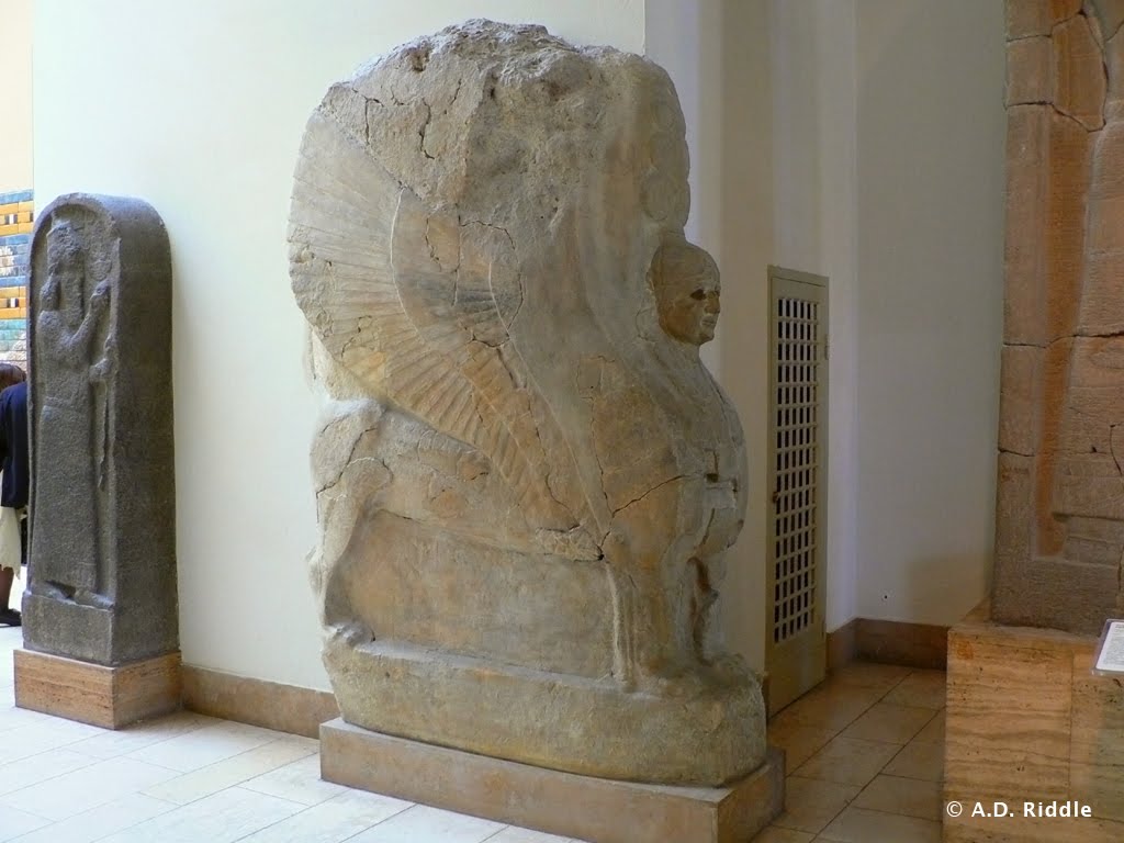
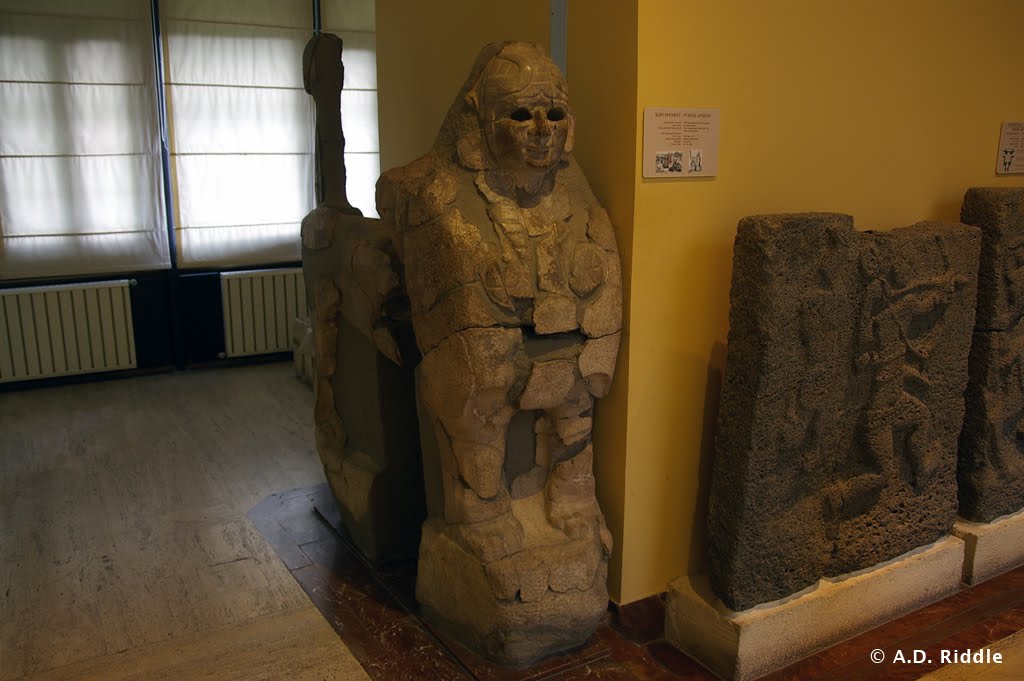
They reveal in particular the little-known past of a dazzling, prosperous Arabic world now being gradually discovered by archaeologists. Moving Neolithic funerary stelae, colossal statues of the kings of Lihyan (6th – 4th century BC), and silver tableware and precious jewelry placed in tombs testify to the dynamism of this civilization. Despite a hostile natural environment, the inhabitants succeeded in taking advantage of their country’s geographical situation as a crossing point for the roads linking the shores of the Indian Ocean and the horn of Africa to Egypt, Mesopotamia, and the Mediterranean world. Early in the first millennium BC this trans-Arabian trade flourished, bringing prosperity to the caravan cities and permeating the local culture with new fashions and ideas from the great neighboring empires.

The second section of the exhibition highlights the role of Arabia as the cradle of Islam. The roads became crowded with pilgrims as well as traders; a first group of exhibits evokes the pilgrim paths and Al-Rabadha, one of the principal stopping-places. Following this road as far as Mecca, a second group comprises a selection of funerary stelae illustrating the evolution of writing and ornamentation between the 10th and 16th century and providing precious information on Meccan society at the time. Muslim sovereigns vied with each other in their generosity towards holy places, with buildings and such ventures into embellishment as this monumental door from the Ka’ba, the gift of an Ottoman sultan.

A review of the exhibition can be read here and a few photos can be seen here.

Finally, Jeffrey Rose just published an article entitled “New Light on Human Prehistory in the Arabo-Persian Gulf Oasis” in the journal Current Anthropology (pdf available here). Rose suggests that in the Late Pleistocene and Early Holocene the area now known as the Persian Gulf was a large oasis which was watered by the Tigris, the Euphrates, the Karun, and the Wadi Batin rivers. Readers may recall the suggestion that Wadi Batin was perhaps the Pishon River, mentioned in Genesis 2:11 in connection with the garden of Eden. On this latter point, see James A. Sauer, “The River Runs Dry: Creation Story Preserves Historical Memory,” Biblical Archaeology Review 22/4 (1996), pp. 52-57, 64 and the discussion in Barry J. Beitzel, The New Moody Atlas of the Bible (Chicago: Moody, 2009), pp. 88-90 and p. 280, note 16.

HT: Joe Lauer

Share:

Iraq
Efforts are underway to resurrect Iraq’s tourism industry. CNN reported in January on conservation work at the site of Babylon, and the Global Heritage Fund has been involved in similar work at Ur. In 2009 and 2010, the Iraqi government reported 165 tourists visited the country.

The online edition of Archaeology magazine has posted a piece entitled “Letter from Iraq: The Ziggurat Endures.” It was written by Michael Taylor, a National Guardsman who visited Ur in May, 2008. There are a few photos of the ziggurat and one of the royal tombs.

Last fall, American archaeologists returned to southern Iraq for the first time in 25 years. A report at PhysOrg outlines the research of Jennifer Pournelle. She is studying the importance of marshland resources, and how proximity to marshlands may have helped determine where ancients cities were founded in southern Iraq. A short video can be seen here.

Egypt
Last Sunday, the Cairo Museum reopened, along with five other museums and all of Egypt’s antiquities sites. On Wednesday night, looters attempted to make off with a 160-ton, red granite statue of Ramses II located at Aswan. Their efforts were thwarted by security personnel (and maybe the size of the statue).

Zahi Hawass, Egypt’s Minister of State for Antiquities Affairs, has claimed that a 3,200 year-old funerary mask owned by the Saint Louis Art Museum was stolen from Egypt. The mask was discovered in excavations at Saqqara in 1952 and purchased by the museum for half-a-million dollars. The museum has filed suit to prevent seizure of the mask by the U.S. attorney’s office in St. Louis.

Beginning today and running through September 4, the Tennessee State Museum is featuring a three-part exhibition entitled Egyptian Relics, Replicas & Revivals: Treasures from Tutankhamun. The exhibit brings together objects and replicas from the University of Memphis, the University of Tennessee-Knoxville, Vanderbilt University, and the International Museum Institute of New York.

Admission is free. Details are available at the museum’s website.

Anson Rainey Tributes
A week ago Saturday, Anson Rainey passed away at the age of 81. This past week, the radio program LandMinds produced a four-part tribute to Rainey in which they conducted interviews with Paul Wright of Jerusalem University College, and Yigal Levin and Aharon Demsky of Bar-Ilan University.

Audio of the program can be found here. Biblical Archaeology Review also has a brief note about Rainey’s passing on their website.

Miscellaneous
Thesaurus Linguae Graecae has made available an online edition of the Classical Greek lexicon Liddell-Scott-Jones, with hyperlinks to texts in the TLG database. The lexicon can be found here and an account of its print and digital versions here.

On Monday, March 21, from 6:00 to 8:00 pm, Thomas Levy will speak at George Washington University’s Capitol Archaeological Institute in Washington, DC. His lecture is entitled “Quest for Solomon’s Mines: Cyber-Archaeology and Recent Explorations in Jordan,” and will be presented at the Elliott School, 1957 E St. NW, Room 113. Both the lecture and a reception are free and open to the public. Some information is provided here.

HT: Joe Lauer and Jack Sasson

Share:

According to an online news article, Turkey’s Minister of Culture and Tourism, Ertuğrul Günay, is pressuring Germany to return a gate sphinx found at Hattusa, even threatening to revoke the German Archaeological Institute’s permit to excavate Hattusa. The Germans have been directing excavations at Hattusa, the ancient capital of the Hittite Empire, since 1906.

The sphinx in question is presently on display in the Pergamonmuseum in Berlin. It belongs to a pair of sphinxes from the Sphinx Gate of the Yerkapi rampart at Hattusa. The complementary sphinx is on display in the Museum of the Ancient Orient in Istanbul, Turkey.

Berlin Pergamonmuseum.
This is a copy of the sphinx shown below. The sphinx which is being disputed is not in the photo; it is displayed on the opposite wall behind where the photographer stood. (The photographer is now kicking himself.)

Istanbul Museum of Ancient Orient.
Sphinx from Yerkapi rampart Sphinx Gate at Hattusa. This sphinx complements the one in Berlin.

Turkey has given Germany until the end of July to return the sphinx. Germany has apparently rejected previous requests. The sphinx was taken to Berlin in 1915 to be restored.

Hattusa is an enormous and complex site just on the outskirts of the modern village of Boğazkale (more commonly known by its former name Boğazköy). Hattusa had dozens of temples and a citadel.

The fortifications included various gates with parabolic arches, a massive rampart on the southern end, and casemate walls. The German excavations are currently directed by Andreas Schachner. From 1994-2005, Jürgen Seeher directed the excavations. Seeher is the author of the best guidebook on Hattusa, Hattusa Guide: A Day in the Hittite Capital, 3rd rev. ed. (Istanbul: Ege Yayınları, 2006). It is chock full of photos, plans, and descriptions, and has a fold-out map.

Much of the guide is available online here. If you have the opportunity to visit the site, allow yourself at least one complete day and make sure you have a car and Seeher’s guidebook.


Yerkapi rampart at the south end of Hattusa.
Below center is a postern gate and tunnel and directly above is the Sphinx Gate.

Buyukkale, the Royal Citadel at Hattusa.

HT: Jack Sasson

UPDATE (5/20): Germany has agreed to give the Sphinx to Turkey.  Details are here.

Share:

The Baptist Press recently posted an article about the Middle Bronze II water tunnel at Tel Gezer. The excavation team is currently clearing out the tunnel and conducting a detailed study of it. Below is a picture of the entrance to the tunnel taken in 2004 by Todd Bolen. The tunnel begins to the left of where the man is standing and descends underground past the left side of the picture. (Recent pictures from inside the tunnel are posted with The Baptist Press article.)

Here’s how the article describes the tunnel:

The challenge is excavating a large, rock-hewn water tunnel at Tel Gezer that is believed to have been carved out by Canaanites between 1800 and 1500 B.C. — around the time of Abraham. Tons of debris must be removed from the ancient tunnel before the real work can even begin. …

The Gezer system also is unusually large, measuring 12 feet wide by 24 feet tall, Parker noted. It is believed that the ancient people used donkeys to ferry water from the source to the surface. The width allowed two animals, loaded with jugs, to pass side by side. The height of the tunnel perplexes the expedition team, and they hope to find an explanation as they pursue the dig. …

Last summer the team began the arduous tasks of removing tons of rubble from the tunnel. During a three-week dig, they cleared 72 tons of dirt and rocks. Team members dug out the tunnel and put debris in large sacks which were hoisted out with a crane. Due to the 38-degree slope, Parker compared it to working on a steeply pitched roof.

The Middle Bronze II period was a time when the Canaanite city-states grew strong. Large public works were widespread in the region, such as city walls, massive earthen ramparts, and glacis (i.e., defensive slopes below the city walls). So the cooperation and organization needed to dig a water tunnel was relatively common during that period, but (as the article points out) elaborate water systems were not. Sophisticated water systems (such as the ones at Hazor, Megiddo, and Hezekiah’s Tunnel in Jerusalem) are more characteristic of Iron Age II cities.

Side Note: The article mentions that 1800 to 1500 B.C. is “around the time of Abraham.” The date of Abraham’s lifetime is a debated issue related to the “Early Date vs. Late Date” controversy about the Exodus. The article apparently assumes a Late Date position. My personal conviction (and that of Todd Bolen) is that the Early Date position is the correct one, which would place Abraham’s lifetime at approximately 2150 to 2000 B.C. If this is correct, then construction of the Gezer water tunnel would have occurred during the time of Israel’s 430-year sojourn in Egypt.

The Baptist Press article can be found here. Details about the dig this summer can be found here. The excavation’s homepage can be found here.

HT: Joseph I. Lauer

Share:

While conducting research for my dissertation (The Arsenal of the Hebrew Kings and Their Neighbors), I was able to follow up on a question that my advisor had once asked me: How were slings used in antiquity? In other words, what technique was used to generate the centrifugal force needed to propel the stone across the battlefield?

In general, the modern assumption is that the sling was twirled in a horizontal circle over the archer’s head. For example, Rivka Gonen in her 1975 book Weapons of the Ancient World states, “A stone was placed in the pocket [of the sling] and then swung round and round above the head; when sufficient centrifugal force had been generated, one of the thongs was released, discharging the stone at a high speed towards its distant target” (p. 42).

This technique was apparently used by the Egyptians in the 12th century B.C. There is a famous relief at Medinet Habu that depicts a battle between the Egyptians and the Sea Peoples during the reign of Rameses III. Within this relief, there are a handful of slingers. Positioned high in the “crow’s nest” of the Egyptian ships, these slingers are depicted in the act of twirling their slings over thier heads, as shown below. (Image taken from Nelson, “The Epigraphic Survey of the Great Temple of Medinet Habu,” in Medinet Habu–1924-28, p. 27). This also seems to be the technique used by a slinger depicted in a relief from Tell Halaf in northwestern Mesopotamia that dates to the 10th or 9th century B.C.


Egyptian Slinger from the Medinet Habu Relief

However, the slings in the reliefs of the Assyrian kings Sennacherib (705-681 B.C.) and Ashurbanipal (669-629 B.C.) are not depicted horizontally. In general, they are depicted as hovering vertically (or almost vertically) over the head of the slinger. An example of such an Assyrian slinger on the Lachish Relief can be seen here (see Fig. 30a). Elsewhere on that relief, a Judean slinger is also depicted with his sling in this position. When slingers use the twirling method described above, the sling is never in such a position, so another method must be proposed.

It would appear that during the late Iron Age the slings of Assyrians and Judeans were used by swinging the whole arm in a wide, vertical circle. Based on the consistent angle of the slings in various Assyrian reliefs, it appears that the slinger’s arm was swinging forward at the top of the circle. The slinger’s arm is always depicted as vertical or almost vertical, and the sling (when it is not depicted as directly in line with the arm) is almost always depicted as trailing slightly behind the arm, away from the slinger’s front side. So it seems that after the slinger loaded his weapon, he would move his arm down and backwards in a sweeping motion and would swing the sling vertically over his head. (Imagine a professional baseball pitcher using a sling to pitch a ball and you have the general idea.) This motion may have occurred only once or may have been repeated several times to build up momentum. At the crucial moment, one of the thongs was released and the projectile was launched toward its target.

So the archaeological evidence indicates that there were at least two slinging techniques used in the ancient Near East: a horizontal rotation over the slinger’s head, and a vertical rotation similar to an overhand pitch. If we stop to think about it, it should not surprise us that different slinging techniques developed at different times and in different places. For a tool as simple as a sling and stone, some diversity in its use was bound to occur.

Share: