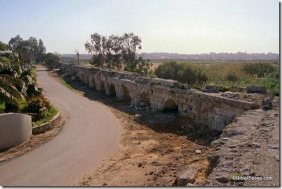
Today’s government decision is reported in the Jerusalem Post:
The Justice Ministry announced on Monday its decision to allow the controversial Google Street View service to run in Israel. A function of Google’s existing maps service, Street View allows users to view panoramic street level photographs of city streets and other locations in the country. […] Only after lengthy negotiations with Google did the Israeli Law, Information and Technology Authority (ILITA), part of the Justice Ministry, agree to roll out the service here. […] To produce the images that make up Street View, for example, Google uses vehicles that drive down streets taking millions of digital photographs and recording location data using sophisticated technology. These images and data are transferred to a database held in the USA, which is outside Israel’s jurisdiction. Under the agreement ILITA has reached with Google, however, Israeli citizens will be able to file civil litigation against Google regarding the company’s Israeli operations, via Google Israel, the internet giant’s local branch. Under the same agreement, Google Israel will provide an online service for Israelis to opt out of the service by demanding that Google blur all images of their homes, license plates and themselves. Google also agreed that the cars used to take the millions of digital photographs will be clearly marked so that residents can recognize them as they pass along the streets.
More of the legal issues are discussed in the Jerusalem Post. I would like to see Street View including antiquities sites, such as the excavations south of the Temple Mount, the site of Beth Shean, and even more distant ruins such as those at Beersheba and Arad.
