Architip is a new app that uses augmented reality (AR) technology to help users see what ancient sites in Israel used to look like. From The Times of Israel:

Augmented reality is a technology that uses mathematics, models, location services, camera technology, and advanced algorithms to impose a virtual image that melds into a real-life one. “For example, you might look at an ancient mosaic on the floor of a synagogue or church, and barely see the decorations on it because of the fading,” said Yaron Benvenisti, CEO of Architip, which is located in Jerusalem and has been operating for about six months. “With Architip, you would see the mosaic in full color, with all its drawings intact.”
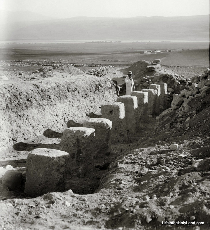
Because each site needs to be mapped and augmented separately, Architip is being marketed as a “white label” engine, which will be used at specific sites. As a pilot, the Architip R&D team, led by Israeli AR and computer vision pioneer Sagiv Philipp, has mapped and “virtualized” the Tel Lachish archaeological site in central Israel. Tel Lachish was a fortified city surrounded by towers, and had many stately buildings, but looking at the site today, it’s hard to visualize the city as it was. With Architip, users can see the site in all its ancient glory just by holding up their smartphone’s camera at the location and looking at the screen.
“With Architip, you can see Tel Lachish as it was,” Benvenisti said, “walking through its streets and seeing the reconstruction through your device.” All a user has to do is point their device at a specific point, and Archtip’s technology does the rest.

The full article, including an illustration, is here. The company website includes a video demo that shows other features. I think that Lachish may be an ideal first choice if you’re just testing things out, but they’re going to have to choose more popular sites if they want more than a handful of users.

HT: Stephen Smuts

Share:

The LMLK Blogspot has posted a video tour of the new “Motherland of Religions: The Eastern Mediterranean in Late Prehistory” exhibit at El Camino College, including displays of artifacts from Hebron and Khirbet el-Qom.

Wayne Stiles explains how the ordinary becomes extraordinary in the Valley of Elah.

In a recent Israel Roundup, Shmuel Browns looks at the Rockefeller Museum, the BBC, and the Jerusalem Botanic Garden.

Haaretz is doing its best to embarrass the left-wing Tel Aviv University by showing its indirect connections to the right-wing Elad in its excavations in the City of David. (And unlike most of their articles, they’ve made this one free for maximum exposure.)

Shimon Gibson reviews Eilat Mazar’s The Walls of the Temple Mount in a BAR article now online.

We don’t plan to write much on this blog for the next couple of weeks, but we’ll try to catch up on the most important stories when we do.

HT: Joseph Lauer

Share:

(Post by Seth M. Rodriquez)

The excavation season is upon us (as has been made clear through the recent roundup posts herehere and here), so our photo of the week is a picture of some early excavations at a well known site.  Can you guess which site it is?

Here are a series of hints for you:

  • This photograph was taken sometime between 1928 and 1946.
  • This dig was carried out by John Garstang.
  • The Arabic name for this site is Tell el-Qedah.
  • A row of matching pillars was found only a few yards away.
  • The valley in the background is the Huleh Valley.
  • This building was later fully excavated by Yigael Yadin, and eventually was moved to a different place on the tell by Amnon Ben-Tor.

The answer to our riddle (and a picture of the whole structure) can be found here.

During a sounding at this site in 1928, Garstang found one of the rows of pillars in a Israelite tripartite pillared building.  This type of structure was common in the ninth and eighth centuries B.C. and has been found at Megiddo, Hazor, Beersheba, and elsewhere in Palestine.  The function of these buildings has been debated, with some scholars interpreting them as stables and others interpreting them as storehouses.  The last I checked, the proponents of the “stable” interpretation had the upper hand … but the readers of this blog are welcome to start the debate again in the comments section.

And for all of you who are in the field this summer … Happy Digging!  May you be as fortunate as Garstang was in his brief sounding at Tell el-Qedah in 1928.

This photo and about 600 others are available in Volume 1 of the American Colony and Eric Matson Collection, and can be purchased here for $20 (plus free shipping). Additional images of this site can be seen here on BiblePlaces.com.  Additional images of the Huleh Valley in the 1800s and early 1900s can be seen here on LifeintheHolyLand.com.

Share:

The eleventh season at Khirbet el-Maqatir has concluded with word of a spectacular find that cannot yet be revealed. The team excavated several Roman-period silos, a first-century ritual bath, and an Iron Age house.

The season at Tel Burna is coming along nicely. The First Week Wrap-up provides an overview of the known stratigraphic sequence of the site. The report for days 6-7 include a photo of a large monolith and a beautiful Iron IIB pavement.

John Black shows how archaeological work in Jerusalem has undermined historical criticism of the Gospel of John.

A Picasso drawing is being raffled to raise money to preserve the archaeological remains of Tyre.

The Egyptian Museum in Cairo was recently closed to tourists by striking employees.

Leon Mauldin illustrates Jeremiah’s message of the cursed man who will be like a “shrub in the desert.” He follows that up with a photo of a “land of salt.”

Barry Britnell shows with photos why the Cilician Gates are important for Paul’s journeys.

Douglas Petrovich provides a summary of his recent article that serves as a “John the Baptist” role for his forthcoming book, Evidence of Israelites in Egypt from Joseph’s Time until the Exodus.

Pools of Bethesda southern pool from west, tb011612879 Southern pool of Bethesda
Photo from the Pictorial Library of Bible Lands

Share:

Ken Dark recently lectured at the University of Edinburgh on the archaeology of Nazareth and the Plain of Gennesaret (Ginosar). Summaries of these lectures are available online.

While I find highly dubious his suggestion that there was “no road between Nazareth and Sepphoris”—what sort of physical evidence would you expect to find for a road from an agricultural village of a few hundred people?—I am very interested in his claim to have discovered a “very large, but previously-unrecognised, Late Hellenistic, Roman-period, and later, settlement” between Magdala and Kibbutz Ginosar. He suggests that the site may be the Dalmanutha of Mark 8:10.

“About four thousand men were present. And having sent them away, he got into the boat with his disciples and went to the region of Dalmanutha. The Pharisees came and began to question Jesus. To test him, they asked him for a sign from heaven.” (Mark 8:9–11)

Because the parallel account in Matthew 15:38–16:1 has “vicinity of Magadan,” some scholars believe that Dalmanutha was another name for Magadan/Magdala. Mendel Nun has proposed that Dalmanutha be identified with a small anchorage north of Magdala (Anchor Bible Dictionary 2:4). Dalmanutha may not be a proper name but simply the Aramaic word for harbor.

You can read the lecture summaries and see the bibliographic details at the blog of the Centre for the Study of Christian Origins.

HT: Charles Savelle

Plain of Gennesaret from Arbel, tb032507715
Plain of Gennesaret (Ginosar) from Arbel. Is this the region of Dalmanutha?
Photo from the Pictorial Library of Bible Lands
Share:

From the Daily Star:

Sidon is set to have its own national museum on site a leading archaeological dig, with donors and developers ready to sign a contract for its construction Monday.The museum project will be built on land owned by the Directorate General of Antiquities at the Frère site. The British Museum has been conducting excavations at the Frère site for the past 14 years, and it is considered one of the most important archaeological digs in the region.
[…]
The museum will house archaeological finds that demonstrate the contribution of various civilizations to the city of Sidon. Excavations at the site have shed light on the city’s history, and the remnants discovered date back as far as 4000 B.C., according to the head of the British Museum expedition, Claude Doumit Sarhal.
“The artifacts provide insight into historical phases of the city and highlight the importance of the Mediterranean civilizations and cities in communicating with other civilizations,” she said.
“The number of the archaeological pieces excavated reaches almost 1,000,” Doumit Sarhal said. “You can imagine what could be buried under the historical site of the whole city, and under the 22 hectares of land that constituted the ancient city-state.”

The full article provides more details. Sidon is mentioned 20 times in the Old Testament, most frequently as an object of condemnation in the prophets. In the New Testament, both Jesus and Paul visited the city (Matt 15:21; Acts 27:3).

HT: Jack Sasson

Sidon, Egyptian Harbor from Castle of St Louis, adr090508696
Egyptian harbor of Sidon from Castle of St. Louis
Photo from the Lebanon volume of the Pictorial Library of Bible Lands
Share: