Those who studied at the Institute of Holy Land Studies (today Jerusalem University College) or otherwise used the venerable Student Map Manual (SMM) may be interested to know that marking instructions for sections 10, 11, 12, 13 exist. 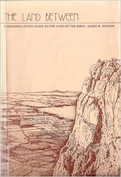 Though I used the SMM in the classroom for 11 years (until nary a one was to be bought, borrowed, or stolen), I was unaware that someone had written a sequel to the marking instructions of
James Monson’s The Land Between. Monson’s work only covered the Old Testament periods (through section 9 which ended with the 586 BC destruction of Jerusalem).
In 1992 Frank L. Benz of Wartburg Theological Seminary in Dubuque, Iowa, self-published Holy Land History: A Study Guide to Palestine from the Persian to the Byzantine Periods. This 134-page work follows the marking scheme developed by Monson and proceeds in chronological order. In his acknowledgments, Benz cites his students who asked him, “When will the instructions for the rest of the Manual be prepared so that we can finish the course?” I can only wonder why I never knew of this work, particularly when I was doing graduate work at the Institute from 1992 to 1994.
For those interested, I have scanned the preliminary material of the work including the preface and table of contents. Since the SMM is now difficult to find, this post is more of a historical note than anything else. Those who already own a copy might enjoy reading through Benz’s marking instructions, though I don’t have any advice to give on where such is to be found. (No matches are currently returned at addall.com.)
There are several worthy successors to the SMM and its marking guides for all current and future students of the historical geography of the Bible. I would highlight two resources in particular.
James Monson continues to develop fantastic study resources at Biblical Backgrounds, Inc. His Introductory Study Package includes Regions on the Run and a set of 7 beautiful, large-format maps.
Bill Schlegel recently published the Satellite Bible Atlas. This work is similar in style to the SMM, though the markings are printed on the maps, saving the student a lot of time. The atlas comes with two commentaries. The briefer of these is printed on facing pages of the atlas, making it convenient and ideal for beginning studies. (I am requiring it of all of my OT and NT Survey students at The Master’s College.) The long commentary is valuable for more eager students and is available for free. Both commentaries cover the Intertestamental and New Testament periods.
